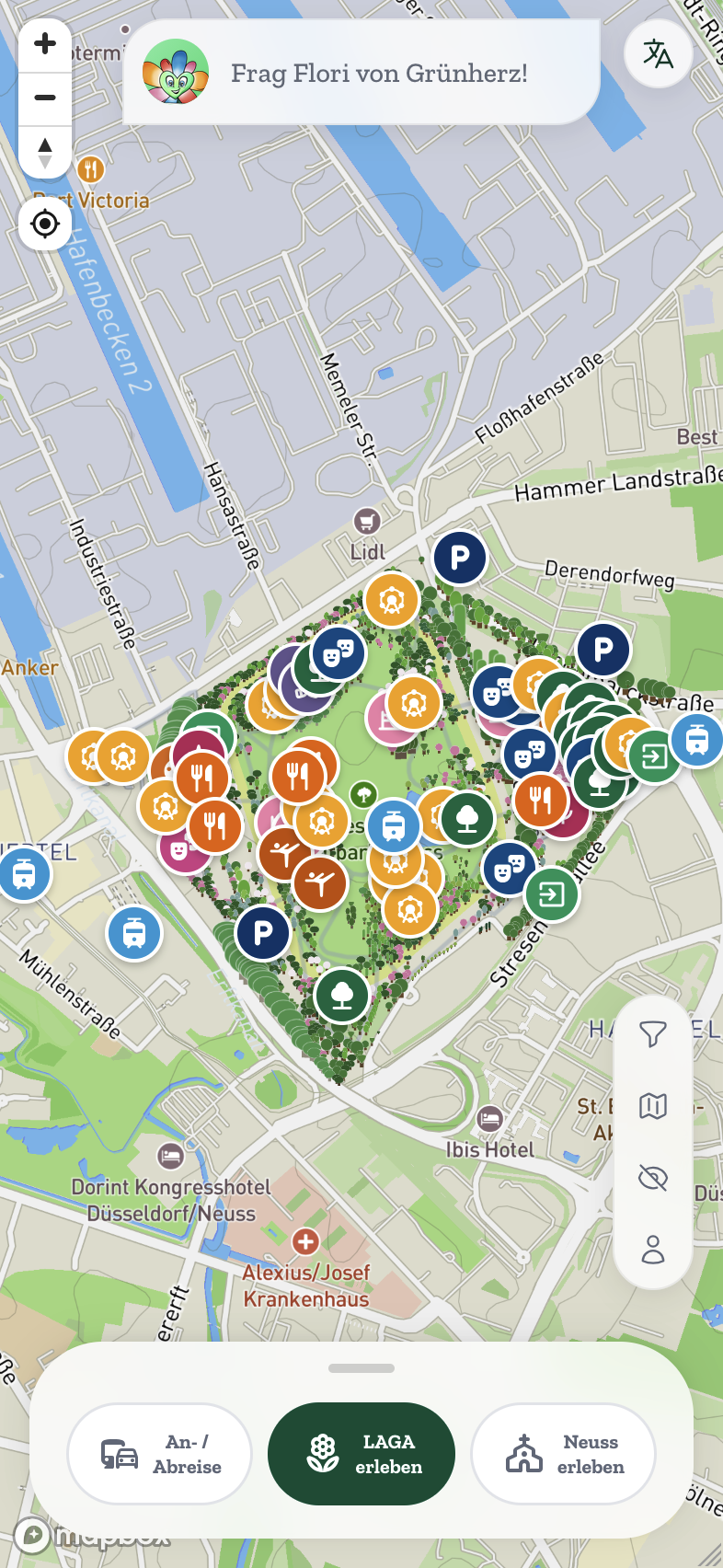
 Mobility
CityPilot
White-label CityApp platform for municipalities. Interactive maps, events, AI assistant, citizen participation — all in your branding.
Explore CityPiloturbanOS connects sensors, data and daily operations on one sovereign platform. Every app your city needs, ready to run.





A smart city platform connects a city's sensors, data and applications on one shared infrastructure. urbanOS is the smart city platform from Germany: a sovereign Urban Data Platform as the foundation, with ready-to-deploy apps for waste, parking, green-space care, noise, air quality, visitor flows and citizen communication on top — GDPR-compliant, ISO-certified and in production in seven German municipalities.
The Urban Data Platform collects what your city measures, keeps it sovereign, and turns it into decisions. Apps come and go as needs change. The foundation stays.
Managed, sovereign, and connected to the infrastructure your city already has.
Each app solves one urban task and ships ready to use: sensors, connectivity and dashboard included.
MobilityWhite-label CityApp platform for municipalities. Interactive maps, events, AI assistant, citizen participation — all in your branding.
Explore CityPilotFill-level monitoring for public waste bins. Ultrasonic, weight and liquid-level sensors report how full every bin is — with a live map, threshold alerts, "full in ~X h" predictions, optimized collection routes with route analytics, sensor placement planning and route export to any phone.
Learn more Mobility
People presence and flow analytics for public spaces. Radio sensors count visitors camera-free — deduplicated per area, with an automatic insight feed, a days-ahead forecast, loudness sensing, live 2D/3D maps and a read-only export API.
Learn moreThe AI assistant for the urbanOS ecosystem. Ask your live sensors, dashboards and documents in plain language — NOVA answers with citations (RAG, cite-or-abstain) and triggers actions (MCP). EU-hosted, strictly scoped to your workspace.
Learn moreUnderstand parking instead of guessing: live occupancy per zone, vacancy and always-full patterns, special bays (♿/⚡) monitored — and a data foundation for re-dedicating spaces. Less circling traffic, less CO₂.
Learn moreTree & green-space health in real time. Resistance sensors at the trunk and soil moisture at root depth monitor trees, flower beds and shrubs — drought stress is caught before the crown shows it. With watering routes only to the thirsty plants, forecasts, expert thresholds and measurably lower water use.
Learn moreMeasure noise objectively instead of arguing. LoRaWAN sound level sensors report LAeq/LAmax around the clock — against day/night limits per zone, with violation alerts and 24h profiles. Levels only, never audio: privacy without debate.
Learn moreIndoor air quality monitoring with traffic light visualization. Ensure healthy air in schools, offices, and public buildings.
Learn moreMonitor drainage inlets and prevent flooding. Real-time alerts for blockages and overflow risks.
Learn moreNeed something specific? We develop custom smart city applications tailored to your municipality's needs.
Learn moreLicenses, packages, sensors and the immediate program: the complete pricing overview, ready to share with your council.
We'll send you the document and may follow up about urbanOS. No newsletter, no spam. Details: privacy policy
Let the AI you trust explain the urbanOS ecosystem and help you find the apps that fit your municipality or site.
Opens your AI in a new tab with a prepared question. You can edit it before sending.
Thirty minutes are enough to see what your city could measure, know and improve.
Book a conversation Or take a walk through our pixel office first: visit the studioA product of